Nova Scotia Zoning Maps
One of the challenges of buying land in Nova Scotia is determining what the potential uses of that land may be. Each municipality maintains their own zoning maps and land use bylaws. Nova Scotia zoning codes, bylaws and maps are useful to pinpoint a particular plot of land and determine what type of zone it is in. With that established, the land use bylaw contains the details on the permitted and restricted uses (e.g. agriculture, commercial, residential, etc.) of each particular zone. Sounds like fun, right?
Well, here’s some good news. In this post, we’ve created the first all-in-one reference for Nova Scotia zoning maps and land use bylaws. We THINK we’ve found them all, but if something is missing or inaccurate please let us know. Of course, zoning is important to consider when buying land, but so are 1,000 other things. Be sure to check out our guide to buying land in Nova Scotia.
So, without further ado, here is our list of Nova Scotia zoning maps, updated for 2026. NOTE, many municipalities illustrate land-use bylaws through an interactive map (ArcGIS, usually). You can zoom in or out on these maps to see detail. What’s often easy to miss is “What does the colour-coding represent?” For that, look for the “legend” icon like this:
![]()
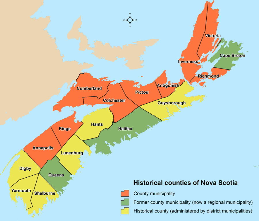
Nova Scotia Zoning Maps & Land Use Bylaws
Cape Breton Regional Municipality (CBRM)
- Cape Breton Land Zoning Map (CBRM): ArcGIS item (CBRM map)
- Cape Breton Land Use Bylaw / Planning: CBRM Municipal Planning
Halifax Regional Municipality (HRM)
- Halifax Zoning / Property Lookup (best starting point): ExploreHRM (interactive map)
- Halifax Land Use By-laws (index): HRM Land Use By-laws
- Community Plan Areas (explains which bylaw applies where): HRM Community Plan Areas
Region of Queens Municipality
- Zoning / Land Use Planning: Queens Land Use Planning
East Hants
- Interactive mapping (planning / property lookup): Interactive East Hants
- Land Use Bylaw (PDF link): East Hants Land Use Bylaw (Amended March 2024)
- Planning hub (often the best place to find the latest MPS/LUB/maps): East Hants Community Planning
West Hants
- Planning documents (central list): West Hants Planning Documents
- Future Land Use Map (current file link): MPS Map 1 – Generalized Future Land Use Map
Annapolis County
- Future Land Use Map (image): Annapolis Future Land Use Map
- Planning / Zoning / Land Use Bylaws (index): Annapolis Planning & Bylaws
Antigonish (Town) + Antigonish County (EDPC)
- Town of Antigonish Zoning Map: Town Zoning Map
- Town of Antigonish Land Use Bylaw: Town Land Use Bylaw
- Antigonish County (EDPC documents & maps): EDPC Plan Documents & Maps
Colchester County
- Zoning Map / Dashboard: Colchester Zoning (ArcGIS)
- Central Colchester Land Use By-law (index/PDF): Central Colchester LUB
Cumberland County
- Zoning Map: Plan Cumberland Zoning Map
- Land Use Bylaw documents: Plan Cumberland Documents
Inverness / Richmond / Victoria Counties (EDPC)
- Planning documents & zoning maps (EDPC hub): EDPC Plan Documents & Maps
Kings County
- Land Use Bylaw + maps (central page): Kings County Land Use Bylaw
Pictou (Town) + Pictou County (Municipality)
- Town of Pictou planning documents: Town of Pictou Planning By-laws & Documents
- Municipality of Pictou County (planning / mapping hub): MOPC ArcGIS Hub
- MOPC Draft Land Use Bylaw (if you want to include current draft materials): MOPC LUB (Draft PDF)
- MOPC Draft Zoning Map (draft): MOPC Zoning Map (Draft PDF)
Yarmouth (Municipality) + Town of Yarmouth
- Municipality zoning/bylaws: District of Yarmouth Land Development & Zoning
- Town zoning/bylaws: Town of Yarmouth Planning
Shelburne County
- Land development / zoning (includes LUB references): Municipality of Shelburne Land Development & Zoning
Lunenburg County (MODL)
- Zoning map: MODL Zoning Map
- Zoning / bylaws hub: MODL Zoning & Planning
Digby (Municipality) + Town of Digby
- Digby Municipality LUB (index/PDF): Digby Municipality Land Use By-law
- Town of Digby zoning map: Town of Digby Zoning Map
Guysborough County (MODG)
- Bylaws hub (more reliable than “draft” links): MODG Bylaws (includes Land Use Bylaw)
- Land Use Bylaw (current PDF link): MODG Land Use Bylaw PDF
Provincial / Cross-Municipality Tools (Optional but Recommended)
- GeoNOVA Interactive Maps & Tools: GeoNOVA Map Apps
In Conclusion…
We hope you found the Nova Scotia zoning code you were looking for. We’re continuing to create resources to help people with buying land in Nova Scotia. That includes publishing Nova Scotia vacant land statistics, legislative updates for foreign buyers of vacant land, using GIS maps to navigate in Nova Scotia, good (and bad) questions to ask when buying land, and of course, land for sale in Nova Scotia. Are we missing something? Let us know!

You are missing the municipality of Yarmouth. You only have included the town of Yarmouth. You did not have all of Yarmouth county. You only have the town of Yarmouth. Play
How right you are! Good catch – I’ve updated the list to include both county and town links.